Stanford Dingley to Bradfield
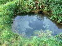
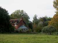
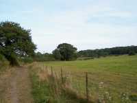
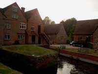
Strips of ten full size photos
Thumbs of twenty photos per page
www.streetmap.co.uk map of Bradfield
Links to my other sites
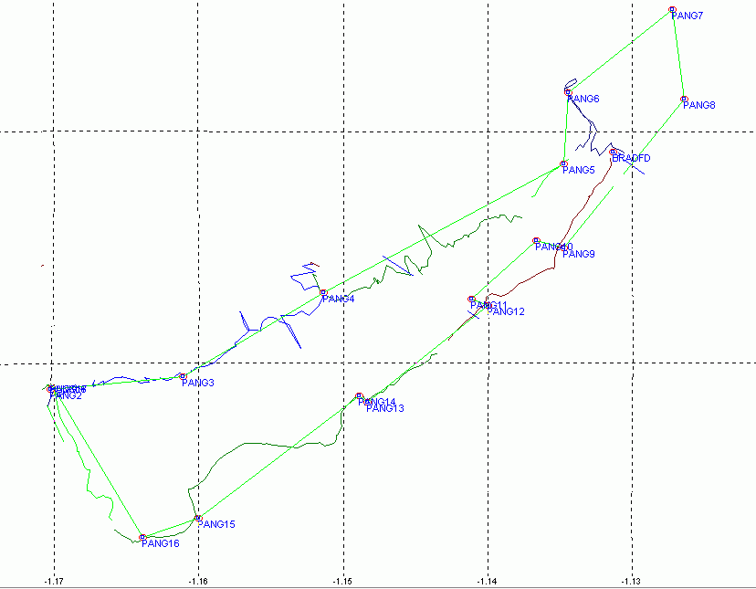
This is the GPS track for the route taken from my hand held GPS.
GPS waypoints for this circular walk Stanford Dingley to Bradfield are:
Datum,WGS84,WGS84,0,0,0,0,0
WP,D,PANG1 , 51.441389322, -1.1736113671,12/31/1989,00:00:00,30-SEP-02 11:54
WP,D,PANG10, 51.445278525, -1.1366666202,12/31/1989,00:00:00,30-SEP-02 12:10
WP,D,PANG11, 51.442778707, -1.1411137227,12/31/1989,00:00:00,30-SEP-02 12:12
WP,D,PANG12, 51.442499757, -1.1399979237,12/31/1989,00:00:00,30-SEP-02 12:13
WP,D,PANG13, 51.438331604, -1.1483342294,12/31/1989,00:00:00,30-SEP-02 12:14
WP,D,PANG14, 51.438610554, -1.1488867644,12/31/1989,00:00:00,30-SEP-02 12:15
WP,D,PANG15, 51.433331966, -1.1600018386,12/31/1989,00:00:00,30-SEP-02 12:16
WP,D,PANG16, 51.432500482, -1.1638910417,12/31/1989,00:00:00,30-SEP-02 12:16
WP,D,PANG17, 51.439168453, -1.1702800635,12/31/1989,00:00:00,30-SEP-02 12:18
WP,D,PANG2 , 51.438889503, -1.1702800635,12/31/1989,00:00:00,30-SEP-02 11:56
WP,D,PANG3 , 51.439442039, -1.1611122731,12/31/1989,00:00:00,30-SEP-02 11:58
WP,D,PANG4 , 51.443057656, -1.1513865832,12/31/1989,00:00:00,30-SEP-02 12:01
WP,D,PANG5 , 51.448609829, -1.1347247008,12/31/1989,00:00:00,30-SEP-02 12:02
WP,D,PANG6 , 51.451667547, -1.1344457511,12/31/1989,00:00:00,30-SEP-02 12:04
WP,D,PANG7 , 51.455277801, -1.1272198800,12/31/1989,00:00:00,30-SEP-02 12:05
WP,D,PANG8 , 51.451388597, -1.1263883952,12/31/1989,00:00:00,30-SEP-02 12:08
WP,D,PANG9 , 51.444999576, -1.1347247008,12/31/1989,00:00:00,30-SEP-02 12:08
Links to my other sites