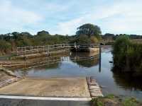
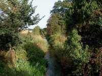
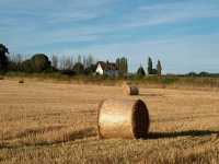
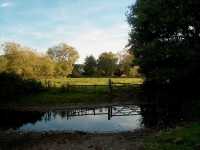
The river Pang valley between Bucklebury and Stanford Dingley September 2002
Strips of ten full size photos
Thumbs of twenty photos per page
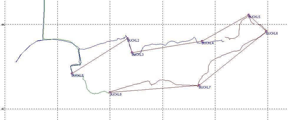
GPS waypoints for this circular walk Bucklebury north of the Pang to Stanford Dingley and back south of the Pang are:
N 51°26'03 W 001°12'26
N 51°26'18 W 001°11'48
N 51°26'12 W 001°11'45
N 51°26'16 W 001°10'57
N 51°26'28 W 001°10'56
N 51°26'21 W 001°10'13
N 51°25'58 W 001°10'59
N 51°25'55 W 001°12'00